Roads on Bressay don’t loop around the island and are mostly single-track; because there are no through roads the tour will often require returning to, or near to, the start point on the island.
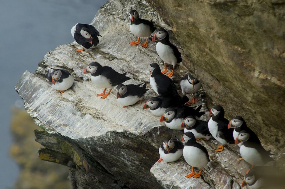
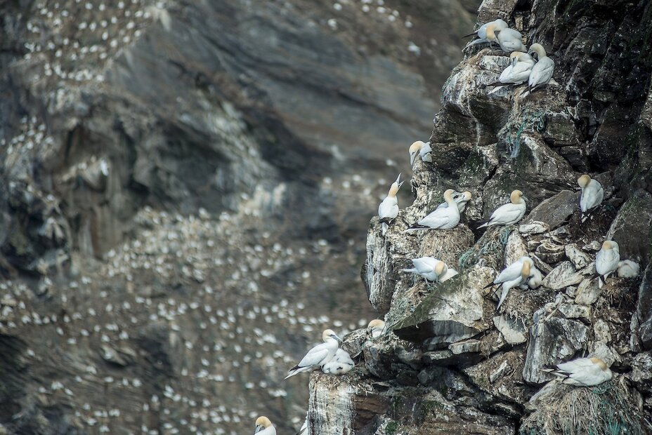
The excellent Bressay Heritage Centre close to the ferry terminal has exhibitions on aspects of the island’s history, archaeology and biodiversity and is a good start point for the day. From here the first route to the north coast of Bressay follows the upper road (the lower road is along the west coast to Heogan). The upper road passes through crofting township of Crueton on a 2.5 mile (4km) run to the small crofting communities of Beosetter and Gunnista. With moorland and grassland close by to the Lochs of Beosetter to the west, and Aiths Voe to the east, this is a prime bird watching area.
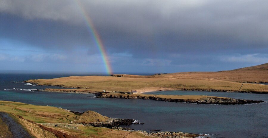
For the next route return south on the upper road to the road junction just past the school then turn left. From here head east for 0.75 miles (1.25km) to where the road forks. The fork to the left will take the route the same distance again to where the road ends at Cullingsburgh. From the tarmac turning-head just past Setter you can take a walk along the shore past the 19th Century fishing booth to the ruined township of Cullingsburgh. Next to the settlement lies the burial ground of Cullingsburgh; within the walled enclosure can be found the ruins of the 12th century pre-Reformation chapel of St Mary's; the only cruciform (cross shaped) chapel in Shetland.
