• Home
  • Blog
  • Uyea and Shetland's Oldest Rocks
By Elizabeth AtiaApril 12th 2016
Elizabeth Atia

On the final day of the school Easter holidays I woke early and checked the BBC weather app to see what weather we had in store for the day. As luck should have, full sun was predicted!

A day of adventuring was crying out to be had.

So, my daughter and I packed a picnic lunch, collected a friend, and we headed out to walk the Sandvoe and Uyea Circular - one of Shetland's wildest and most challenging walks.

What a day we had!

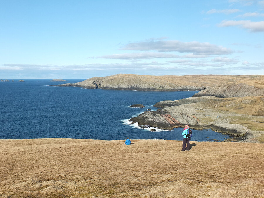
Parking the car next to the graveyard in Sandvoe, at the north west tip of the mainland of Shetland, we crossed through a sheep field, following the sign marked Access Route and scrambled along the steep coastline. We could see why the area was called Sandvoe - the shimmering white sands under the sea glistened in the sunlight - we were almost tempted to jump in for a swim.

We stopped for a bite to eat and cup of tea at Roer Mill where the ruins of an old Haaf fishing bod are still visible (pictured above).

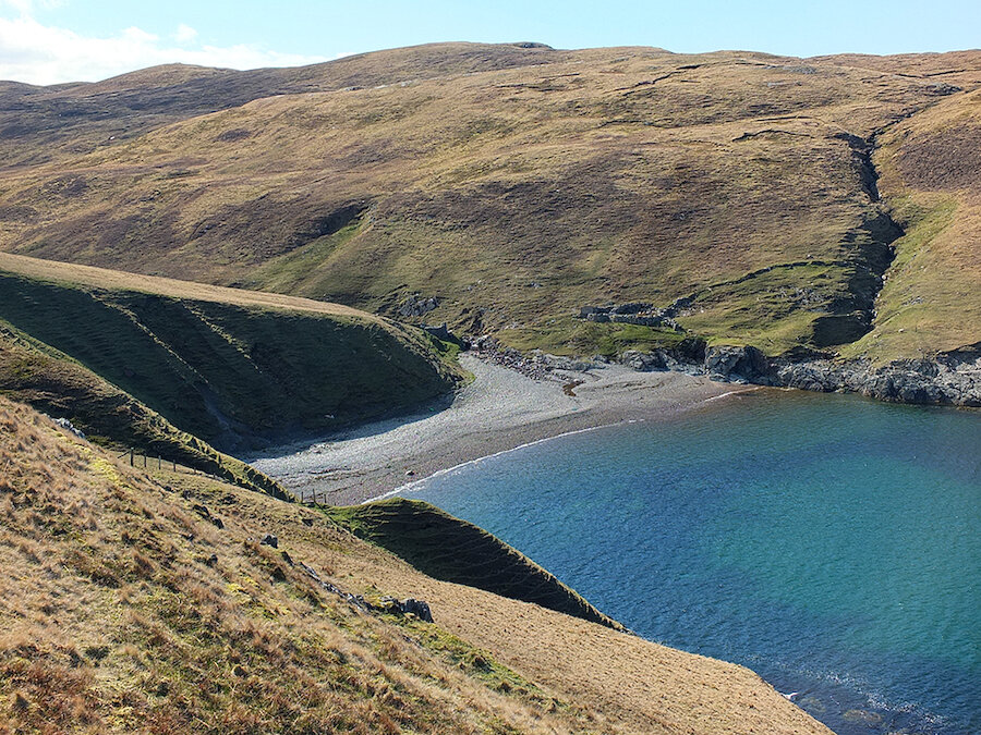
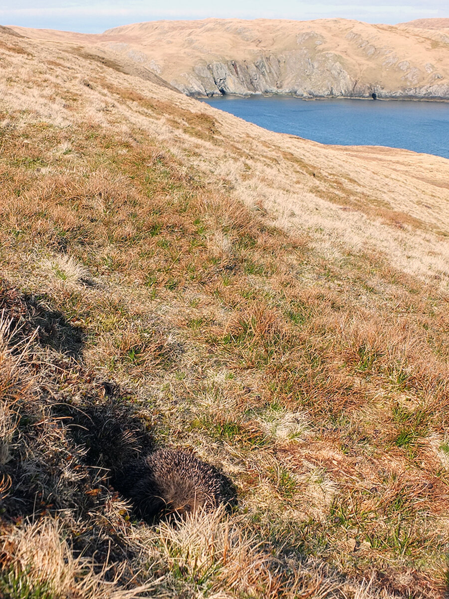
Crossing over the style marked with the familiar blue circular access route arrow we headed up the steep hill, pausing to admire a hedgehog which was trying desperately to hide from us in the open (pictured above). We could see a few caves across the voe - a tempting place to take a kayak!

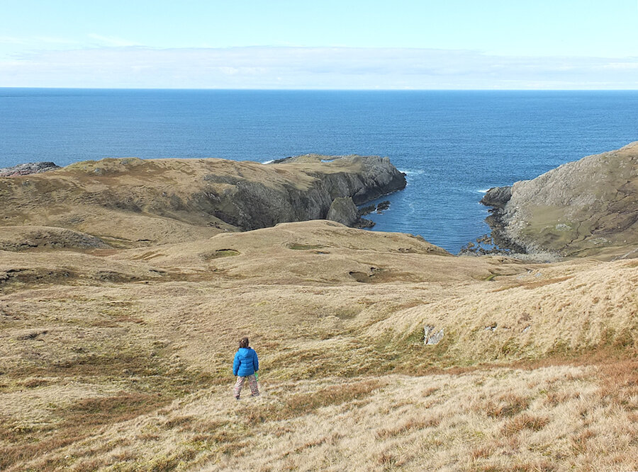
Climbing up and down through the dramatic glaciated landscape with the warmth of the sun on our faces - it was pure heaven.

I had all of the happy while hiking these wild and remote hills, I truly did.

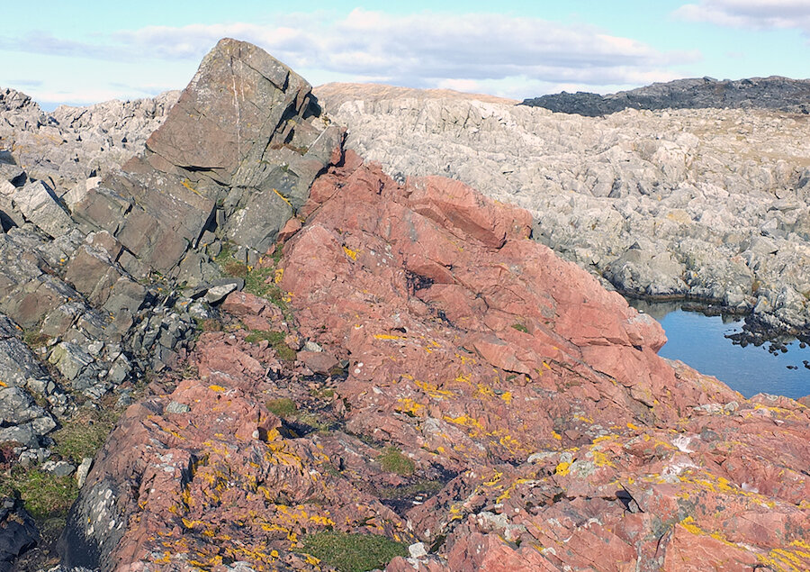
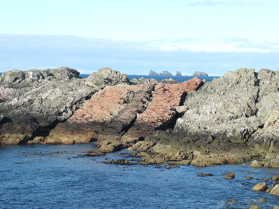
From our vantage point as we crested one of the steep hills we could see a rather peculiar geological formation down at the Wilgi Geos - bands of red and black composite dykes. The rocks in this area are 2500 million years old and my friend's Phillips Red Book map indicated that these are the oldest rocks in Shetland.

The red layers were caused by magma injections way back when. How awesome is that?

We carried on along the coastline until we reached the ruins of the Brevligarth croft, and then along a dirt track to the ruined crofting toonship of Uyea. These crofts were inhabited in 1851 but they were nearly all abandoned by 1906.

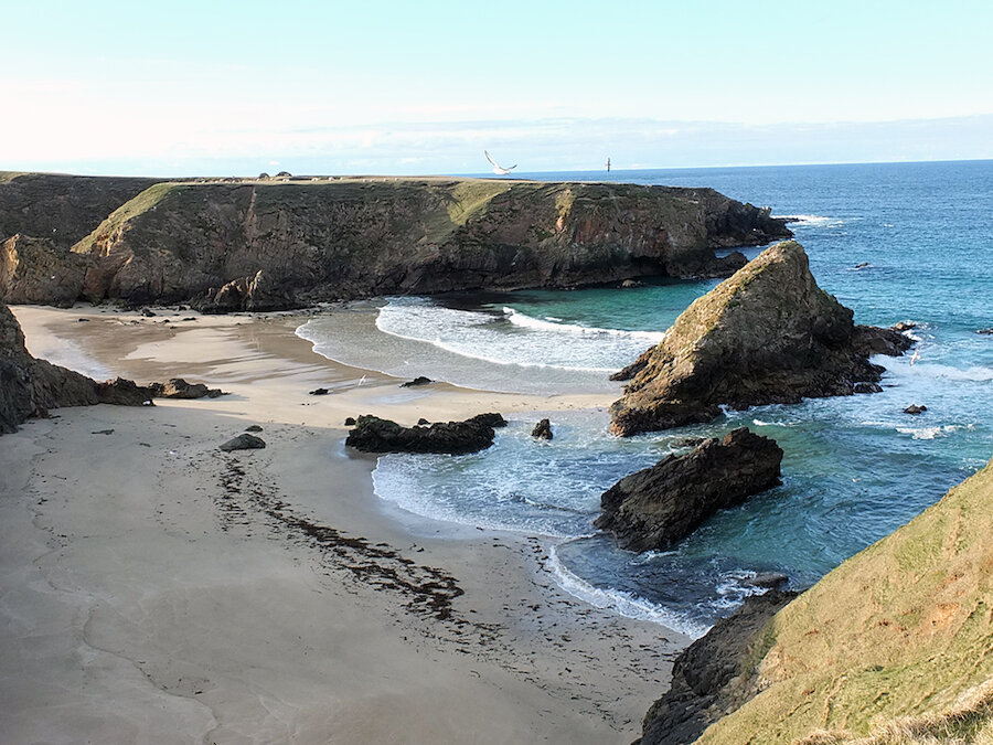
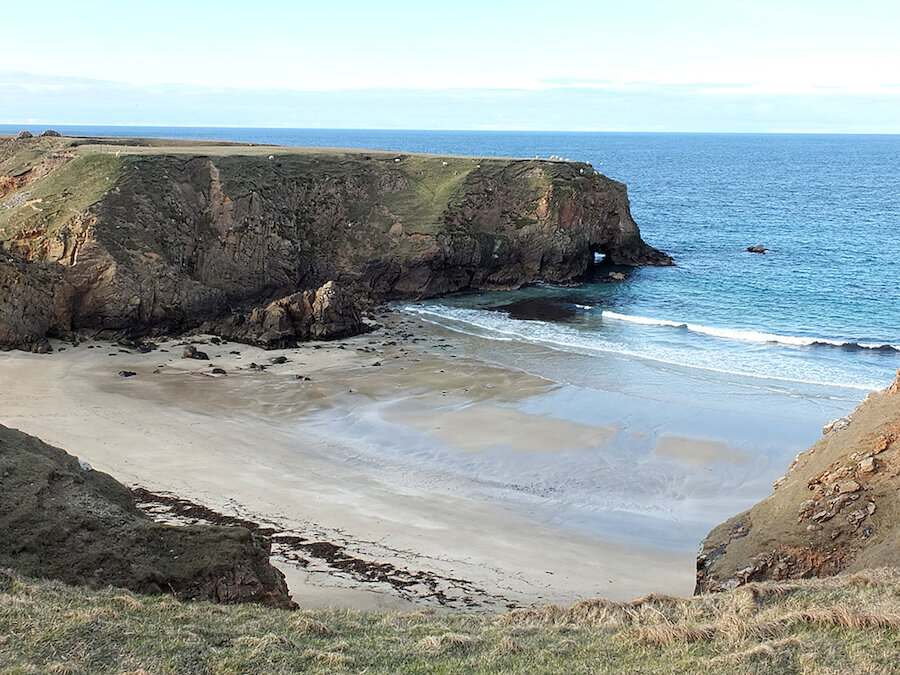
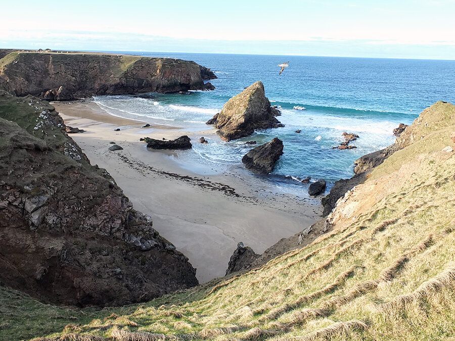
Following the cliffs along The Breck we caught our first glimpse of the sandy tombolo joining the mainland with the the island of Uyea, and some seriously stunning sea stacks and sea arches.

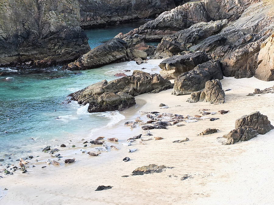
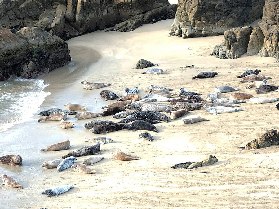
The most spectacular scene, however, occured when we followed the fenceline along the cliff tops to its end, where it forms a V pattern with a gate leading down the cliffs at the point of the V. I thought that was rather unusual, so I had to take a closer look... and stumbled across a beach filled with seals! At the sound of my voice they all stampeded, well, as much as a seal can stampede, back into the sea.

It was quite the sight to behold!

For the return leg of our journey we followed the track back from the croft ruins at Uyea back across the moorland to North Roe. It was a fantastic walk, nearly ten miles in length, and although it was challenging with its elevation changes it was quite a pleasant ramble on a sunny Spring day.